Map & Directions
GPS Coordinates:
35° 49’ 24” North /
-85° 3’ 41” West
From Knoxville or Nashville
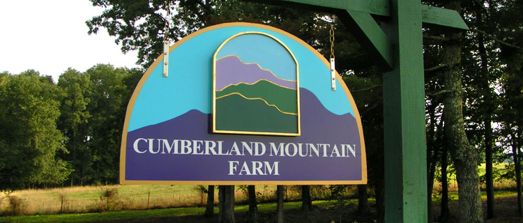
From I-40 take Exit 322, Peavine Road. Go south on Peavine 0.2 miles and cross Highway 70. Continue 2.8 miles to light at highway 127 South (Look for big church). Turn left on 127 South and continue 2.4 miles until you see a Stone Tower. Bear right, still on 127 South, and continue 5 miles. Cross Basses Creek. When passing the stone quarries watch for Hillendale Road immediately on the right. Go 1.8 miles on Hillendale until it ends at Dunbar Road. Turn left on Dunbar and go only a very short distance and then turn right on Clint Lowe Road. Watch for stone sign saying "Bethel Commuity". Go 1.1 mile on Clint Lowe Road and look for the Lodge on the right on a hill. There will be a sign for Cumberland Mountain Farm. If you get lost, call 919-599-5712 or 919-493-2615
From Chattanooga
Take Highway 27 south. Near Soddy Dairy, take 111 west over the mountian into the Sequachie Valley. Continue north up the valley on Highway 127. After climbing out of the valley onto the Cumberland Plateau, watch for some landmarks before the next turn. The Buzzards Roost, a small country grocery will be on the right. Cross Daddy's Creek. Watch carefully for Hillendale Road on the left at the top of small hill (Basses Creek is too far— turn around). Go 1.8 miles on Hillendale until it ends at Dunbar Road. Turn left on Dunbar and go only a very short distance and then turn right on Clint Lowe Road. Watch for stone sign saying "Bethel Commuity". Go 1.1 mile on Clint Lowe Road and look for the Lodge on the right on a hill. There will be a sign for Cumberland Mountain Farm. If you get lost, call 919-599-5712 or 919-493-2615 |


